Please note that this post is about a historical landmark. There is no working train station at the location described in this post.
It is rare to find legacy railway infrastructure in West Sussex.
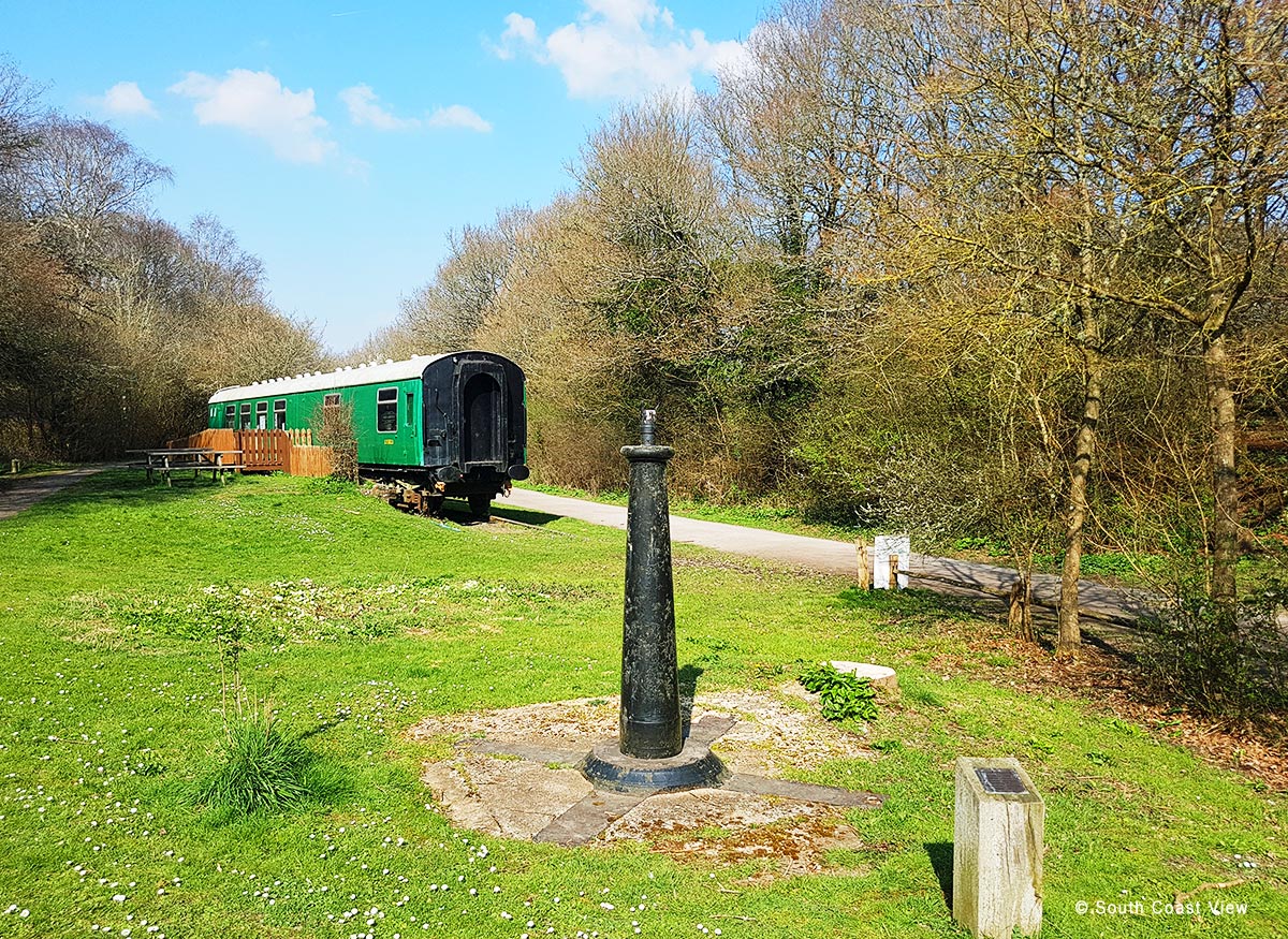
West Grinstead train station, however, has examples of railway infrastructure from a bygone era.
This 20-mile (32.19 km) branch line in West Sussex once linked the port of Shoreham-by-Sea and Horsham.
The Steyning Line closed on 7 March 1966, following the implementation of the nationwide Beeching Cuts, which were a cost-saving exercise aimed at improving the efficiency and financial situation of the nationalised railway system of Great Britain.
The associated Steyning Line map is from Wikipedia.

My recent visit to West Grinstead Train Station
On a beautiful, warm spring day, I visited the area and would like to share some of the photographs I took.
West Grinstead Train Station Station Photo Gallery


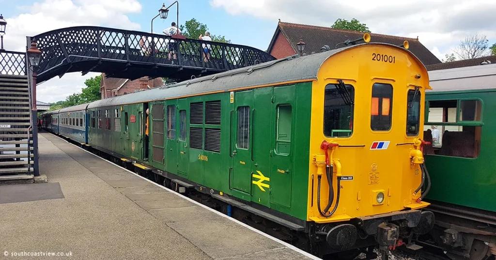
Historical images from the Steyning Line


The three historical images above are Creative Commons via Wikimedia. These images are of low resolution, but you can view the original high-resolution images on Wikimedia.
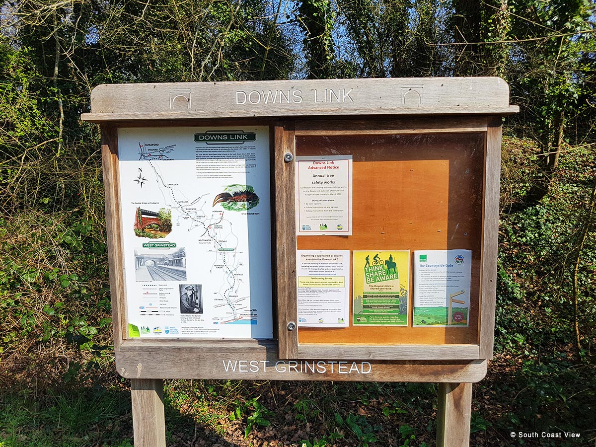
The Downs Link
Today, this beautiful area forms part of the Downs Link, a shared-use path that is popular with walkers, horse riders, and cyclists.
More Information
The Downs Link at West Sussex County Council
The Bald Explorer explores West Grinstead Station and Knepp Castle (on YouTube)
How to get to West Grinstead Train Station (Google Maps)
Subscribe to future posts on this website by email. No spam, just an email when a new post is published. View the posts.
See my explainer titled “What is Substack“.
Related articles in Railways and Tramways. View all in Railways and Tramways.

Kraków Old Town – An Unforgettable Visit
The Bluebell Railway – An Unforgettable Visit
Wrocław Świebodzki Station in Poland
